
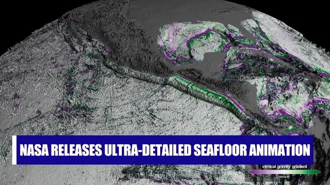
NASA Releases Ultra-detailed Seafloor Animation
194 Video Views·Mar 21, 2025
From NASA: This animation shows seafloor features derived from SWOT (Surface Water and Ocean Topography) data on regions off Mexico, South America, and the Antarctic Peninsula. Purple denotes regions that are lower relative to higher areas like seamounts, depicted in green. Eötvös is the unit of measure for the gravity-based data used to create these maps. (Source: NASA’s Scientific Visualization Studio)