
Cnicht, Moelwyn Mawr, & Moelwyn Bach Hike Vlog | Snowdonia National Park
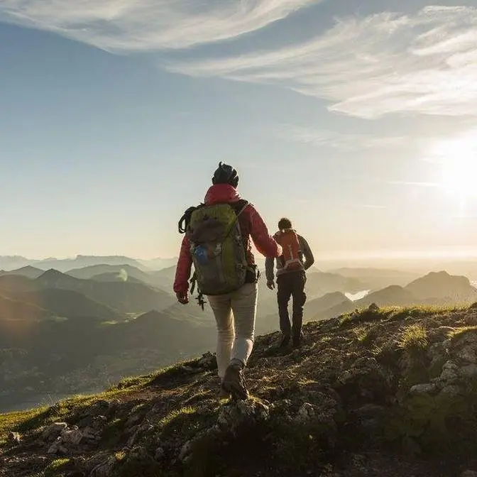
Shmoy, today I'm in the west of Snowdonia National Park up in North Wales and I'm
heading for a hike up the peaks of Cynigd and the Mullwinds. Now this is a 14 kilometre loop
which involves just under a thousand metres of elevation gain. It starts in the small village
of Croesor which is to the west of Blaenau Ffestiniog. There is a large car park with room
for about 30 cars and it is free to park. Now I'm going to tackle this loop in a clockwise direction
so my first peak I'm going to head up is Cynigd so I'm going to head out the car park, turn right
and work my way on to the ridgeline. Now I've heard very good things about this hike,
it is a beautiful clear day however there is quite a lot of wind so hopefully it's not too
savage up on the peaks and I can get my drone up. So let's crack into it.
So about two miles into the hike, making my way up Cynigd from the west to the views.
I mean it's a clear day but look at this, back towards Porthmadog and the estuary,
stunning. And if you spin around to the north
you've got Snowdon. I'll just have a chat here because the wind is actually really really strong.
If I go over this ridge it's blowing absolutely gale so it'll be interesting to see if I can get
the drone up or not, whether I go full kamikaze mode but stunning. I've got Mullwind Mower and
Mullwind Bark so eventually work my way on to there but onwards we push. So I'm just off the
summit of Cynigd just behind me there. Views are mental, it's only 689 meters high but
the 360 panoramic views you get are insane. You've got Mull of the Winds that way and
southern Snowdonia, Porthmadog and the estuary that way and if you spin it around look at this,
and up there's Mull Shabod where I well camped two nights ago. You can find that video here
but insane views. What a day for it, what a day. Now Cynigd is named after the old English
word for knight so it's quite ironic you have a knight on a knight but it's nicknamed the Welsh
Matterhorn just because of its prominent shape. It's been eroded at four sides by glaciers,
the soft rock's been taken away and you've left with the hard igneous rock but
it's such a prominent mountain and the views are absolutely insane. It took me just over an hour
to get up the top of it, not that difficult at all, easy to follow, a little bit of scrambling
at the end but I definitely recommend this. Right I'm going to push along along the north top,
swing around and try and get up. Tomorrow in an hour, let's crack on.
So from Cynigd, rather than pushing across the north top and swinging around,
I kind of just beelined it straight down past Slim Cwn-y-Foyle and two other tarns.
It wasn't that technical, no real route, just kind of picked and weaved my way through. A bit
boggy at times but cut off a bit of the route and shorn it up but I'm here in Rosseed Quarry,
absolutely stunning. This hike, not only the view's incredible but the variety of
the landscape and the terrain is unbelievable. This quarry is absolutely massive. I'm going to
have a little look around here, scout out some of the buildings before pushing on up to Moylwyn
Glydyrrae, Caernedau and Moylwyn Mawr.
So up on the summit of Craigysgaffan, which is a rocky outcrop between Moylwyn Mawr
and Moylwyn Barch, it's about 690 metres high, it is a nattol
and it means mountain rang in English. But yeah, the route is a pretty simple route straight down
from Moylwyn Mawr and you climb back up. You also get great views over the Stoolan Dam.
But I'm about six, just over six miles in, just over four hours. One final descent and then a
climb up to Moylwyn Barch and then I'm going to make the long descent back to Croesaw.
So far so good. What a day, what a day. So I'm just off the summit of Moylwyn Barch,
which is up behind me. Sits at 710 metres and its translation into English is Little White Hill.
Barch being little, Mawr being big. Stunning views once again back towards Porthmadog,
Nantwrch Ridge and if you go over this hill looking towards Blaenau Ffestiniog. Sitting
beneath Moylwyn Barch is the Stoolan Dam and Stoolan Reservoir. Now this feeds the Blaenau
Ffestiniog power station. It was built in the 1950s and is extremely popular with cyclists.
It's a closed off road, 2.7 kilometres in length with eight hairpin bends which averages above 10%.
I think people come from all over Britain to cycle it and it's continuously voted one of the
best climbs in the UK. I think there's been a fair few airbrushing attempts on it as well.
I'm going to stick the drone up, get some shots of the summit before making the short two mile slog
back to Croesor.
So I'm back at the van after completing the hike. Just under 10 miles and just over five hours.
Sensational hike, absolutely unbelievable views. It's gone straight into my top three hikes in
Snowdonia, potentially even competing for that number one spot. It was a proper mountain day.
The variety of the terrain from sort of a couple of scrambles, beautiful 360 degree views from the
peaks, a couple of old slate mines and the Stoolan Dam. Absolutely incredible, proper mountain day.
And you also had that remoteness that you don't get in Snowdonia. I barely saw any people and
only share the summit with one other person. Just all in all a sensational day and I thoroughly
recommend this hike. I did it in a clockwise fashion, however because it is a loop you can
do it anti-clockwise. What I would say is the last mile of my journey was on road, although I was
walking towards a beautiful view of Snowdon and Kinnick. So if you want to get that out of the way
first I would recommend doing this loop anti-clockwise. I'd also say this is a great hike
to do for sunset, either finishing up on Kinnick or Morwenbach as you'll have incredible views and
there are a ton of wild camp spots along routes, especially on the summits of Kinnick and Morwenbach.
So if you're into wild camping I definitely recommend coming here. Anyway that's all from me,
thanks for watching, like and subscribe and all that and until next time, diolch yn fawr.