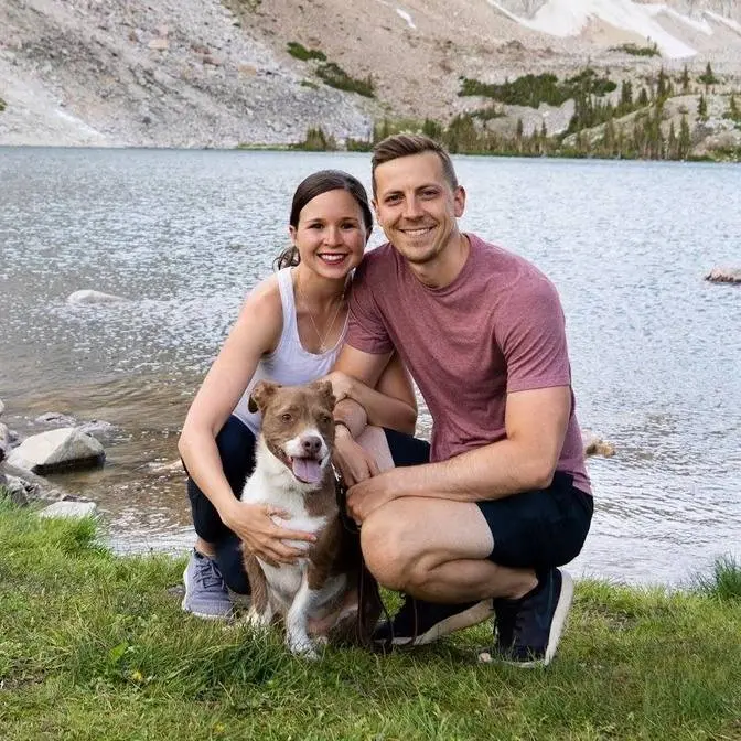
The next stop on our Great Lakes road trip: Michigan's Upper Peninsula! And first up we're visiting Porcupine Mountains Wilderness State Park, the largest state park in Michigan.
The Porkies, as they are nicknamed, are home to beautiful views, waterfalls, and beaches, and we spent a day seeing as much as we could!
👋🏼 About us Hi y’all! We’re Adam, Kathryn, and Kona, an adventurous married couple (+ pup!) living on the road in our self-converted sprinter van! You can often find us driving all around the US and Canada, scoping out the best coffee shops, eating tacos and ice cream (we're a 5+ taco and 2+ scoop household), and enjoying nature.
We help travelers spend less time (and stress!) planning their trip and more time enjoying it! Our detailed travel guides, YouTube videos, and travel resources share the must-visit local eats, popular and off the beaten path sights, and tons of tips to make planning your next adventure a whole lot easier.
Note: We’ve linked a handful of items so you can see exactly which products we take with us. Full disclosure--if you click on these links and make a purchase, we get a small commission at no extra cost to you. We will only ever recommend products we truly love, actually use during our adventures, and think you can benefit from too!
After a quick fun trip through Wisconsin where we kayaked through sea caves in
the Apostle Islands National Lakeshore, watched cheese being made from start to
finish, explored Door County, and toured a goat
farm, we said goodbye to Wisconsin and headed to Michigan's Upper Peninsula.
We have a handful of adventures planned in the Upper Peninsula but our first
stop is Porcupine Mountains Wilderness State Park
which is in the far western part of the Upper Peninsula and is the largest
state park in Michigan. The Porkeys as they are nicknamed are
home to beautiful views, waterfalls, and beaches and today we hope to explore as
much as we can. Our first stop of the day is the
Escarpment Trail which is an 8.2 mile trail that climbs almost 1,700 feet
taking you to the top of a ridge and has great views of Lake of the Clouds.
There are two main trailheads that you can start at. We are starting at the
Government Trailhead based off of reviews we saw
on all trails. To visit any state park in Michigan it costs nine dollars for a
non-resident for the day or you can get the yearly pass which is
$34 for non-residents. Since we're going to be visiting a
handful of state parks while we're here we decided to go all in and get the year
pass. The first mile or so of this trail was
pretty steep you're going up up up but now we're on top of this ridge here
and we're starting to get some views of the Lake of the Clouds. There's this
little river valley here and it's just a gorgeous morning nice
breezy cool day. The views on this hike are
amazing and when we think of Michigan we've always just thought of the sandy
beaches on the lake not this more mountainous terrain
and it has been the best surprise. We just stopped off at the other end of the
trail which is the overlook for the Lake of
the Clouds and if you just want to see that overlook there is a large parking
lot that you can park at and it's a 300 foot walk to get to it
super gorgeous view but we do highly recommend doing this
trail because you get more views along the way
and it is way less crowded. So the reason we started at the Government Trailhead
versus the Lake of the Clouds overlook is so that we'd end with the overlook
and have awesome views versus ending at the Government Trailhead which is
just a parking lot and it's super steep to get there so it'd be kind of a let
down just to get to a parking lot. Also you don't have to do the entire
trail to see some of the best views. We'd say the best views are about halfway
through the trail or halfway through the lake
so if you want to just go part of the way we'd suggest starting at the Lake of
the Clouds so you start with views and then turn around about halfway
through the lake and you'll get to see the best views of the hike.
We ended up finding a picnic area on the side of the highway and enjoying lunch
overlooking the lake and then we went in the lake and went swimming which is
something we've wanted to do for weeks but it's just always been
too cloudy, water's too cold, just not ideal conditions but it was
perfect. We're now driving about 40 minutes across the park to the Presque
Isle area which fun fact this park is in two different time
zones. When we started this morning at the Ironwood Walmart where we slept last
night we were in the central time zone. The
area we were just in was the eastern time zone.
We're hopping back into the central time zone for the Presque Isle area
and then we'll hop back to the eastern time zone later. Very confusing.
This area is known for its waterfalls and we're going to take a short trail to
check out three of them. We made it to two out of the three
waterfalls and they're both really beautiful but we got a little confused
going from the second waterfall which is Minito Falls to the third waterfall
which is now Adaha Falls. Right after Minito Falls the boardwalk just ends and
there's this very steep rooty section that doesn't really look
like the trail. It doesn't say it's the trail but
very well could be the trail but we weren't totally sure so we backtracked a
bit. Found this other trail that we're on
now which we believe will take us to now Adaha Falls.
We'll put a link to our all trails recording in the description
in case you want to see the exact route we took. Not really sure if it's right
but it doesn't seem wrong. One of the
coolest things about this trail are these potholes in the riverbed so there
are eddy currents that swirls pebbles and sand grains
in a circular motion and over time it wears away at the rock
and creates these really cool looking potholes.
Our last trail on the park is the Summit Peak Observation Tower. The tower is 50
feet tall and is actually the highest point in the park at almost 2,000 feet
above sea level. The trail is about a mile round trip
which is good because we are getting tired.
We have hiked over 11 miles today. On a really clear day you can see the
Apostle Islands. 30 miles that way. I think you can barely
make them out at least with my eyes. I don't know that the camera will pick it
up but we kayaked over there about four
three or four videos ago and then 80 miles
that away which I can't even see that is Isle Royale National Park.
Backpacking is super popular in the park and we really wanted to go
backpacking but unfortunately by the time we looked into booking a
backcountry site all the ones we wanted were taken but
we did manage to snag this campsite at the Lost Creek Outpost
Campground which is a super tiny campground in the park with only three
campsites total. Our campfire feast is ready to
be feasted on. So we have a potato hash where there's red bell pepper, green
bell pepper, zucchini and a little bit of bacon
thrown in there and then we cooked up some steaks in
the cast iron skillet and then this is the
chev cheese goat cheese that we got from
Door County Creamery yesterday. And that's the end of our first
adventure here in the Upper Peninsula. We're just going to spend the rest of
the night enjoying the warmth of this campfire on this not cold at
all day and enjoy this campground because our
neighbors have yet to show up so we have it all to ourselves
and then we're going to get up bright and early tomorrow to start exploring
the Keweenaw Peninsula. The highest... I don't know why but
just makes me feel like I'm like rewind refresh. Get it get it get it
Oh yeah. Awww yeah. A little lawnmower. Is that how you do it? Yep.